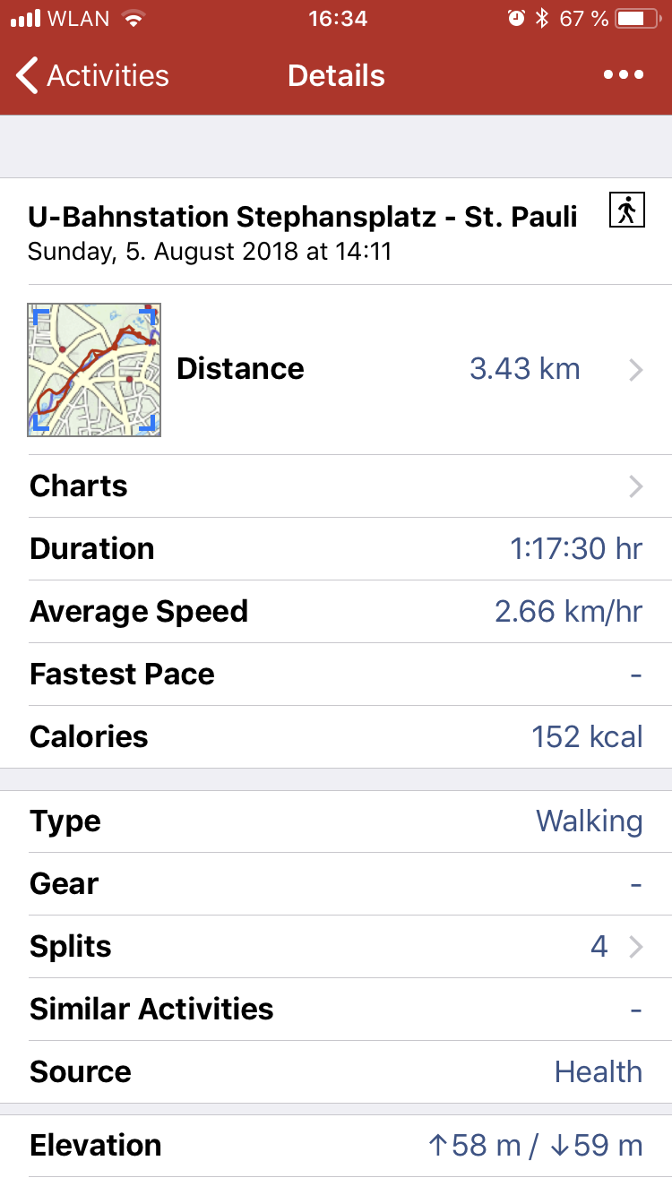
I want my photos to have location info in them, and Nikon wants way too much money for that. So I’ll do this: Let my Apple Watch track where I go, using the Outdoor Walk, export the route as GPX and use exiftool to tag all my images. Here’s how I do that.
Export GPX
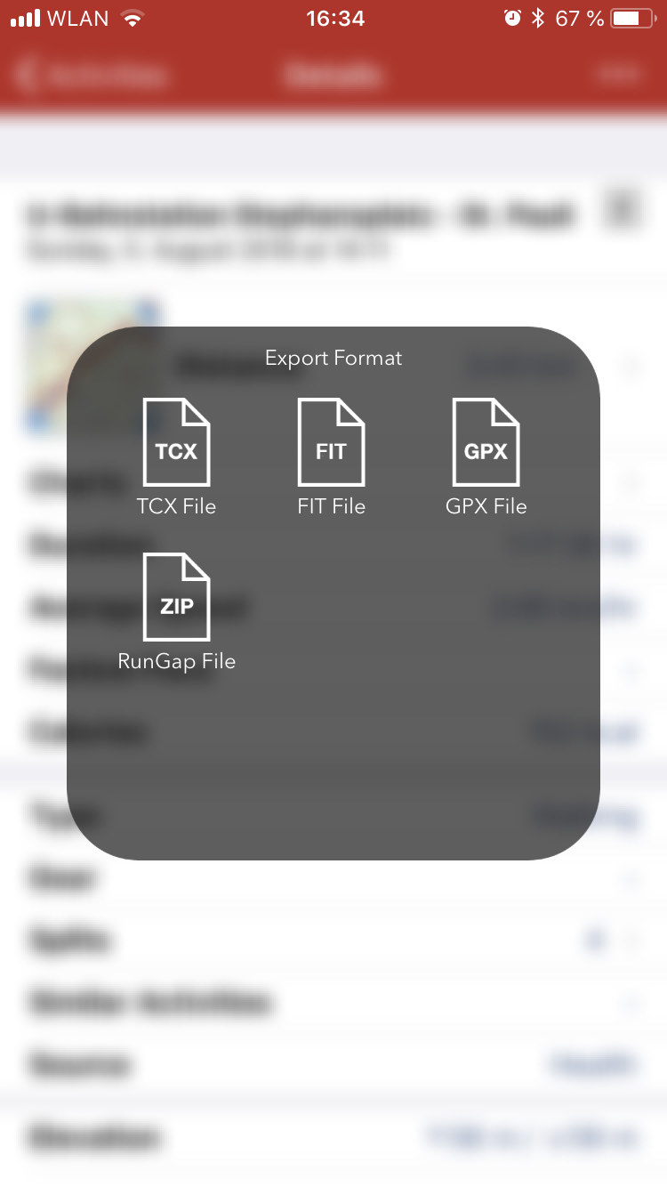
Apples apps don’t come with an export option, so I use the wonderful little app called RunGap. An in-app-purchase for 2.29€ allows my to export a GPX file of my workout:
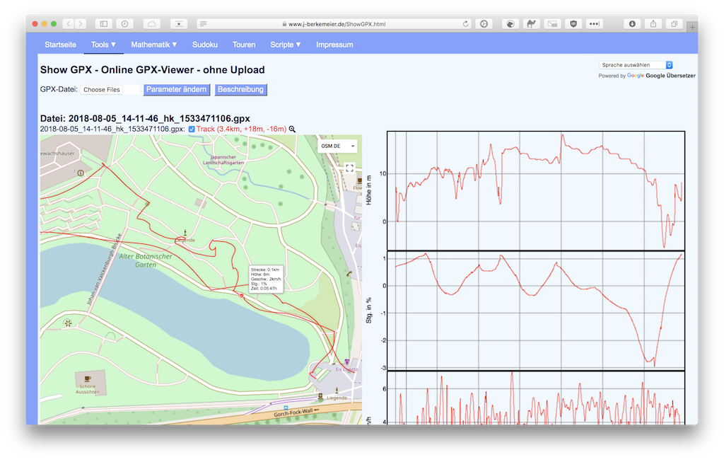
There’s also a great website that let’s you analyse the contents of that file:
Write GPS into EXIF
Next, I use the software to edit EXIF data, written in Perl, first published in 2003, still state of the art today: exiftool. You can install it via
brew install exiftool
(on a mac, of course).
Then the command is pretty straightforward:
$ ~ exiftool -geotag=myRoute.gpx ~/Pictures/UntaggedPictures/
    1 directories scanned
   83 image files updated
…and it’s done!
The exiftool can do way more, by the way, they have a page dedicated just for geotagging. But for starters, this does the job pretty well!